Temperature | Web Scraping Tool | ScrapeStorm
Abstract:Temperature is a meteorological parameter that indicates the air temperature at a specific altitude or surface level on Earth's surface. ScrapeStormFree Download
ScrapeStorm is a powerful, no-programming, easy-to-use artificial intelligence web scraping tool.
Introduction
Temperature is a meteorological parameter that indicates the air temperature at a specific altitude or surface level on Earth’s surface. It serves as a fundamental indicator for weather forecasting, climate research, and disaster prevention. Temperature is typically measured at an altitude of 1.25 to 2.0 meters above the ground and expressed in degrees Celsius (°C). Temperature variations are influenced by numerous factors, including solar radiation, topography, seasons, air mass movement, and atmospheric convection.
Applicable Scene
Temperature is widely used in meteorological observation and forecasting, including high and low temperature indications in short-term weather forecasts, climate suitability analysis in agricultural production, temperature gradient monitoring in aviation and navigation, and early warning of extreme weather events such as cold snaps and heat waves. Temperature data is also a key parameter in climate research, used to identify global warming trends and analyze the impact of climate events such as El Niño.
Pros: The advantages of temperature as meteorological data lie in its mature observation methods, strong data continuity, and high degree of standardization. Ground-based automatic weather stations, meteorological satellites, and sounding balloons can all monitor it with high precision. Furthermore, temperature data changes are directly perceptible and closely linked to human life and ecosystems, making it highly practical. In numerical weather prediction models, temperature is also an essential variable in the initial field and boundary conditions, crucial to the stability and prediction accuracy of the entire system.
Cons: However, temperature data also has certain limitations. First, it is sensitive to local topography and underlying surface conditions (such as the urban heat island effect and vegetation cover), resulting in noticeable differences between urban and suburban areas at the same time. Second, temperature changes are often the result or accompanying effects of other meteorological phenomena and cannot independently determine the evolution of complex weather systems. Third, surface temperatures acquired by satellite remote sensing may deviate from actual air temperatures, requiring professional calibration. Therefore, in practical applications, temperature information often needs to be analyzed in conjunction with other meteorological factors such as humidity, wind, and cloud cover to reach an accurate assessment.
Legend
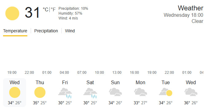
1. Temperature in weather forecast.
2. Bimetallic thermometer.

Related Article
Reference Link
https://en.wikipedia.org/wiki/Temperature
https://climate.nasa.gov/vital-signs/global-temperature/?intent=121